The Goal
The objective of this project was to identify the optimal Front-End LiDAR Odometry system to integrate with LAMP (Large Scale Autonomous Mapping and Positioning), a robust back-end SLAM system developed by the NASA JPL NeBula team.
Navigating complex, multi-story environments with the Boston Dynamics Spot robot requires a SLAM front-end that is both highly accurate and computationally efficient. My goal was to:
- Benchmark Performance: Rigorously test five leading LiDAR odometry algorithms (FAST-LIO, FASTER-LIO, DLO, DLIO, LOCUS).
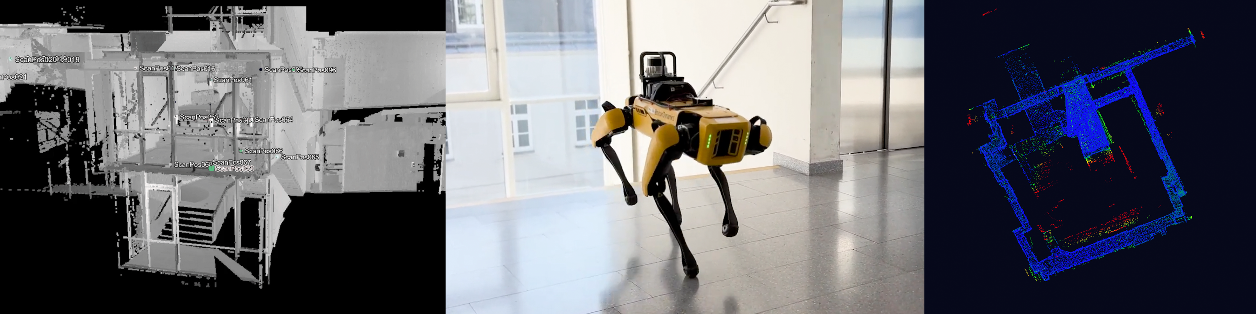
- Quantify Accuracy: Compare the resulting maps against sub-centimeter accuracy ground truth data from a Riegl VZ-400i laser scanner.
- Optimize for Compute: Determine which solution offers the best trade-off between CPU/RAM usage and map quality for deployment on constrained onboard hardware.
The How
I implemented a benchmarking framework to evaluate these algorithms side-by-side using real-world data.
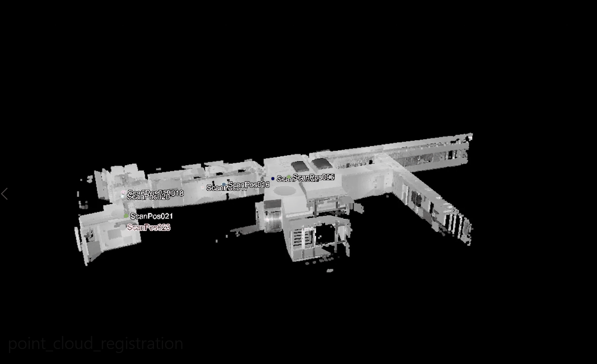
Recording of ground truth pointcloud
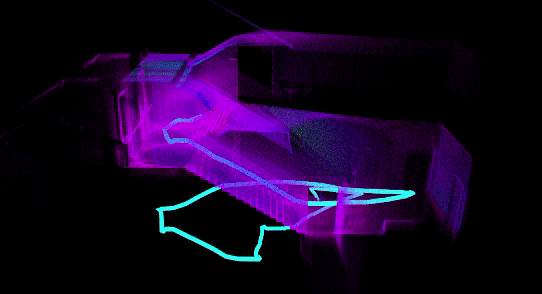
Real-time 3D LiDAR odometry with FAST-LIO
- Data Collection: I recorded custom datasets using a Boston Dynamics Spot robot equipped with Ouster OS-128 and Velodyne VLP-16 LiDARs in challenging multi-story environments.
- System Integration: I created a unified Docker/tmux-based build system to manage the complex dependencies of multiple competing SLAM research codebases, ensuring reproducible builds on ROS Melodic.
- Ground Truth Generation: I used a survey-grade Riegl VZ-400i terrestrial laser scanner to create millimeter-accurate reference maps of the test environments.
- Automated Profiling: I developed Python scripts to automatically track real-time CPU and RAM usage for each algorithm during execution.
- Accuracy Analysis: I utilized CloudCompare to perform Cloud-to-Cloud (C2C) distance calculations, generating heatmaps of drift and error by aligning the SLAM output with the Riegl ground truth.
The Results
The comprehensive benchmark provided clear, data-driven recommendations for the final system architecture.
- Top Performers: DLO (Direct LiDAR Odometry) and FAST-LIO emerged as the best candidates. They demonstrated the lowest computational overhead while maintaining high accuracy.
- Accuracy Validation: Both DLO and FAST-LIO produced maps with minimal deviation from the Riegl ground truth, successfully closing loops in multi-story traversals.
- Resource Efficiency: While DLIO (Direct LiDAR-Inertial Odometry) offered excellent accuracy, its memory usage was prohibitively high for the target hardware.
- System Recommendation: The final recommendation was to deploy DLO or FAST-LIO as the lightweight onboard front-end on Spot, offloading the heavy LAMP back-end optimization to a remote base station to maximize performance.